![]()
![]()
Compare products Delete all products
You can compare a maximum of 3 products
Visualized Flight Maneuvers: Low Wing Aircraft 4e softcover
Traditionally known as the "red maneuvers book," this handbook complies with current practical test standards and regulations.
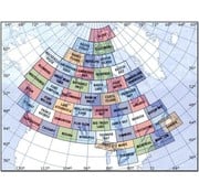
VNC Navigation Charts 1:500 000
The VFR Navigation Chart (VNC) is used by VFR pilots on short to extended cross-country flights at low to medium altitudes and at low to medium airspeeds.....................
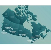
VTA Navigational Charts 1:250 000
Terminal area charts provide detailed information in congested air traffic areas. The seven charts of the series cover Toronto, Montreal, Vancouver, Winnipeg, Calgary and Edmonton. All charts are at a scale of 1:250,000........................
Weather Flying: 5th Edition hardcover
The best resource a pilot can have to understand how to fly in all types of weather. Now more than ever, having the Bucks' Weather Flying at the controls is the next best thing to having the authors with you in the cockpit.