Canadian VFR Charts and Publications
-
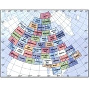
VNC Navigation Charts 1:500 000
C$ 16.95
Compare -
-
VTA Navigational Charts 1:250 000
C$ 16.95
Compare -
-
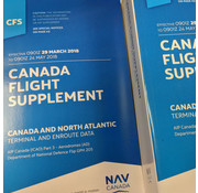
Canada Flight Supplement (CFS) - July 09 2026 to September 3rd 2026
C$ 17.95
Compare -
-
Aeronautical Information Manual (AIM) Edition 2025-1 ++EXPIRED++
C$ 5.95
Compare -
-
VNC Navigation Charts 1:500 000 Cambridge VNC AIR5042 Edition 8 December 2024
C$ 16.95
Compare -
-
Private Pilot Textbook Bundle
C$ 228.38
Compare -