![]()
![]()
PROUDLY CANADIAN - SUPPORT YOUR LOCAL CANADIAN AVIATION BUSINESS!


Compare products Delete all products
You can compare a maximum of 3 products
VNC Navigation Charts 1:500 000
The VFR Navigation Chart (VNC) is used by VFR pilots on short to extended cross-country flights at low to medium altitudes and at low to medium airspeeds.....................
VTA Navigational Charts 1:250 000
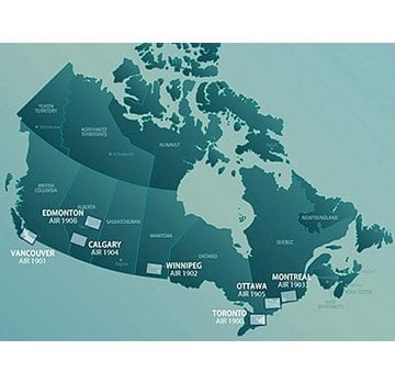
Terminal area charts provide detailed information in congested air traffic areas. The seven charts of the series cover Toronto, Montreal, Vancouver, Winnipeg, Calgary and Edmonton. All charts are at a scale of 1:250,000........................
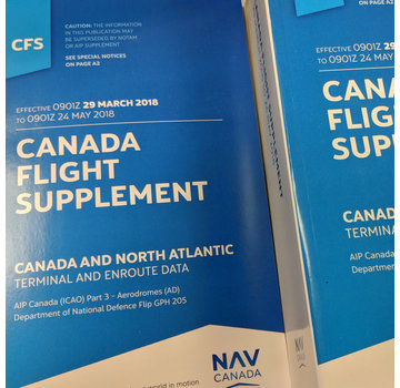
Canada Flight Supplement (CFS) - July 09 2026 to September 3rd 2026
Aeronautical Information Manual (AIM) Edition 2025-1 ++EXPIRED++
VNC Navigation Charts 1:500 000 Cambridge VNC AIR5042 Edition 8 December 2024
Private Pilot Textbook Bundle
Get bundled pricing on these must-have Private Pilot Textbooks. Save $23.47